- Home
- Tools
Tools for exploring Mallorca
Small, honest instruments for the island. They run entirely in your browser, store nothing on a server and show their assumptions, so you can see how every answer is reached.
Wind and beach finder
Pick today's wind and see which coast is calm and which beaches lie in the lee.
Open 02RoadsIsland drive times
Choose a base and see how far every place on the island really is.
Open 03SeasonsMonth by month
Air and sea temperature, sunshine, rain and crowds for every month, with the fiestas.
Open 04MarketsMarket days
Every weekly market on the island by weekday, with today's markets first.
Open 05LightSunset and sunrise spots
Pick a date and see where the sun sets into the sea, with times for Palma.
Open 06Your daysIsland planner
Choose your days, base and interests and get a day-by-day plan to keep or send.
OpenTwenty places on one map
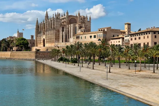
Palma
Palma and the bay: a cathedral city facing open water, lived in every month
- From the airport
- 15 min
- Market
- Most days, in different quarters
- Nearest beaches
- Platja de Palma, Cala Comtesa
Positions are true to scale. Numbers mark the twenty places of this guide, small dots the twenty-five beaches of the wind finder.
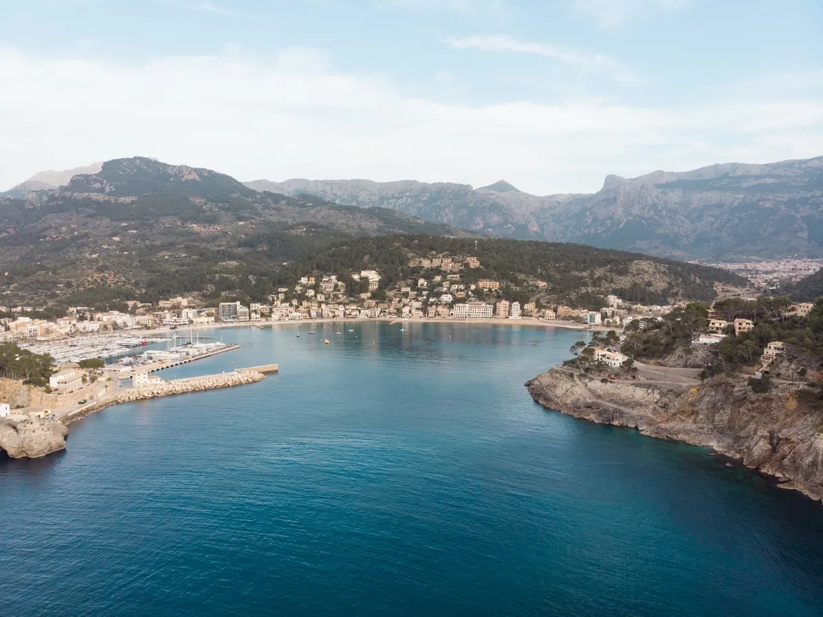
Tell us your days. We will draw the island.
Choose how long you stay, where you sleep and what you love. The planner suggests a day-by-day route with drive times, market days and the beaches the wind allows. Keep it, print it or send it to yourself.